More actions
The A465 was a road in South Wales. Destinations along the route included Merthyr Tydfil and Abergavenny.
It branched from the M4 at junction 43, just west of Neath. It ran north-east, bypassing Resolven before reaching Glyn-Neath, from where it curved south-east around the southern edge of a national park. It then curved back around north-east to Merthyr Tydfil, where it intersected with the A470. After continuing through the north of Merthyr Tydfril, the A465 ran north-east, traversing the south east corner of the national park to reach Abergavenny, where it crossed the River Usk and intersected with the A40. From Abergavenny, it continued north, through the national park.
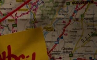
The A465 appeared on Mary Cooper's map of overflow camps in and around Wales. (TV: The Categories of Life)
Behind the scenes[[edit] | [edit source]]
Although unnamed in The Categories of Life, in the real world the national park seen on the map, which is passed through by the A465, is the Brecon Beacons.

